Data & Downloads
Check in the tables belows the chronological view of the activities of the trip and trail statistics. Just below, a link for downloading the tracklogs created in the park.
Trip overview
| Date | Activity | Description | Overnight |
|---|---|---|---|
| Oct, 04 | Road | Kings Canyon → Zion | Watchman Campground |
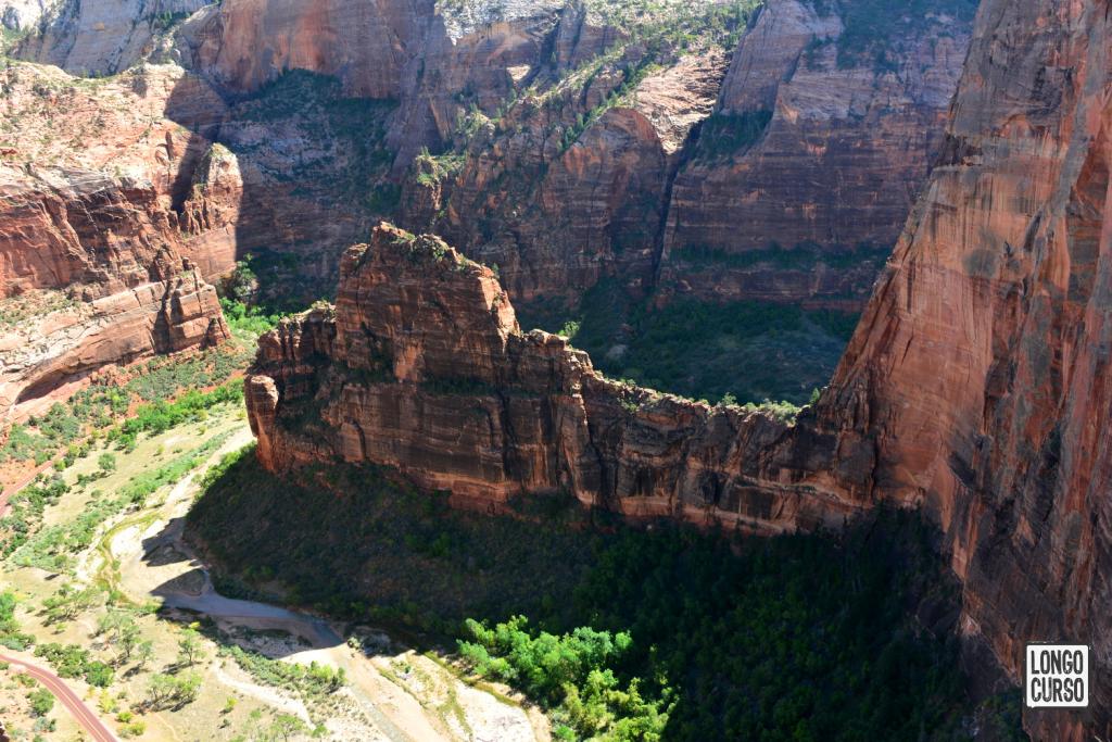
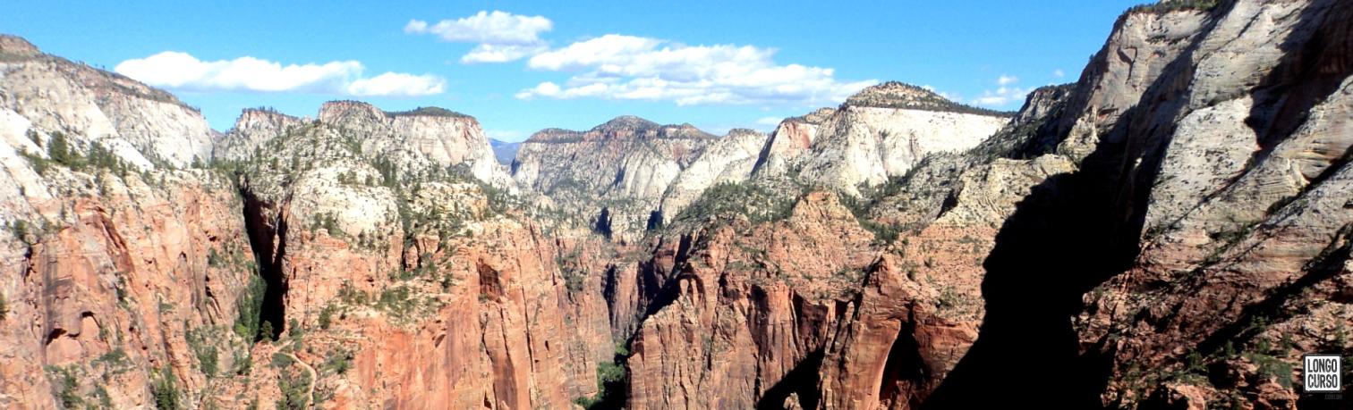
| Oct, 05 | Day hike | Angels Landing (*) (***) | Watchman Campground |
| Oct, 06 | Backpacking | ZT #1 - Lee Pass to La Verkin Creek Camp 8 | La Verkin Creek Camp 8 |
| Oct, 07 | Backpacking | ZT #2 - La Verkin Creek Camp 8 To Wildcat Canyon (**) | Wildcat Canyon |
| Oct, 08 | Backpacking | ZT #3 - Wildcat Canyon to West Rim Camp 6 | West Rim Camp 6 |
| Oct, 09 | Backpacking | ZT #4 - West Rim to East Rim (Stave Spring) | Stave Spring |
| Oct, 10 | Backpacking | ZT #5 - Stave Spring to East Rim trailhead | Watchman Campground |
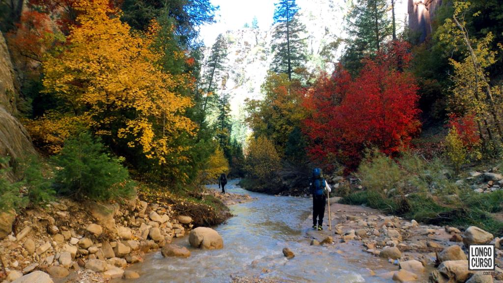
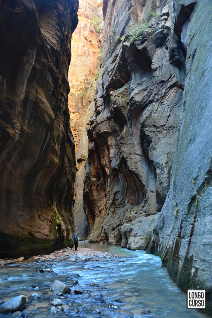
| Oct, 11 | Backpacking | TN #1 - Chamberlain's Ranch to Camp 9 (***) | Narrows Camp 9 |
| Oct, 12 | Backpacking | TN #2 - Camp 9 to Temple of Sinawava (***) | Watchman Campground |
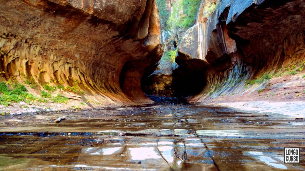
| Oct, 13 | Day hike | The Subway (***) | Watchman Campground |
| Oct, 14 | Road | Zion → Las Vegas | Las Vegas (Super 8) |
| Oct, 15 | City | Las Vegas | Las Vegas (Super 8) |
| Oct, 16 | City | Las Vegas | Las Vegas (Super 8) |
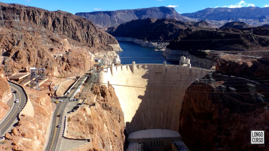
| Oct, 17 | City + flight | Hoover Dam tour and Las Vegas → Panamá flight | Flight |
| Oct, 18 | Flight | Panamá → Rio flight | Rio de Janeiro |
ZT: Zion Traverse
TN: The Narrows
Trail statistics
| Date | Description | Distance | Duration | E.R. | T.E.G. | T.E.L. |
|---|---|---|---|---|---|---|
| Oct, 05 | Angels Landing (*) (***) | 5.19 mi | 4:10 | 3,976 ft - 5,807 ft | 2,011 ft | 2,503 ft |
| Oct, 06 | ZT #1 - Lee Pass to La Verkin Creek Camp 8 | 6.45 mi | 3:00 | 5,030 ft - 6,073 ft | 955 ft | 2,077 ft |
| Oct, 06 | ZT #1 - Kolob Arch (*) | 1.55 mi | 1:00 | 5,190 ft - 5,394 ft | 531 ft | 509 ft |
| Oct, 07 | ZT #2 - La Verkin Creek Camp 8 To Wildcat Canyon (**) | 13.23 mi | 7:00 | 5,200 ft - 7,297 ft | 3,314 ft | 1,240 ft |
| Oct, 08 | ZT #3 - Wildcat Canyon to West Rim Camp 6 | 9.62 mi | 6:00 | 6,785 ft - 7,415 ft | 1,529 ft | 1,535 ft |
| Oct, 09 | ZT #4 - West Rim to East Rim (Stave Spring) | 14.02 mi | 8:30 | 4,272 ft - 7,343 ft | 3,353 ft | 4,173 ft |
| Oct, 10 | ZT #5 - Stave Spring to East Rim trailhead | 5.89 mi | 2:10 | 5,735 ft - 6,742 ft | 571 ft | 1,355 ft |
| Oct, 11 | TN #1 - Chamberlain's Ranch to Camp 9 (***) | 12.76 mi | 7:20 | 4,695 ft - 5,863 ft | 1,056 ft | 2,073 ft |
| Oct, 12 | TN #2 - Camp 9 to Temple of Sinawava (***) | 8.62 mi | 4:10 | 4,465 ft - 5,194 ft | 942 ft | 1,378 ft |
| Oct, 13 | The Subway (***) | 9.03 mi | 7:35 | 4,682 ft - 6,975 ft | 2,592 ft | 4,491 ft |
E.R. = Elevation range
T.E.G. = Total elevation gain
T.E.L. = Total elevation loss
(*) Round trip data
(**) Does not include 1.56 mi round trip to get water
(***) Low precision data due to topography (canyons)
By: Angelo Vimeney
Published: Apr 28, 2020
Published: Apr 28, 2020
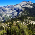
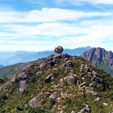
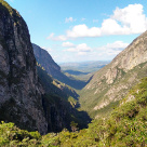
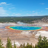
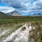
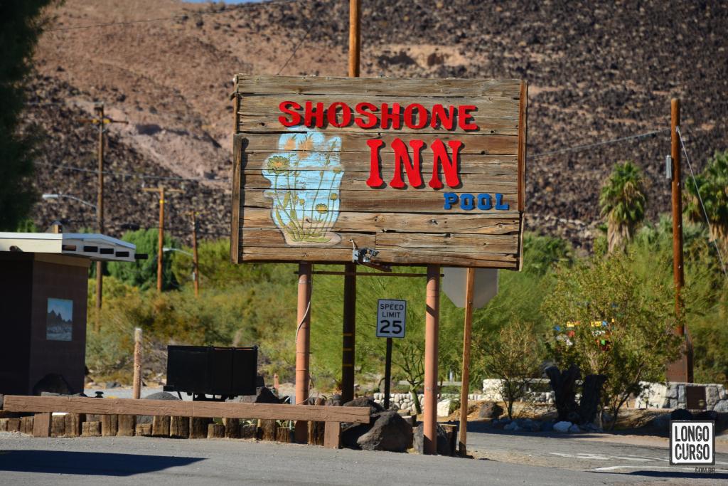
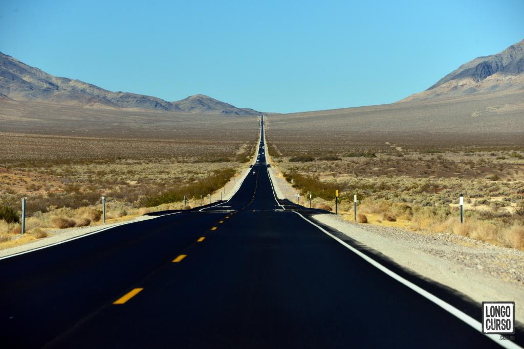
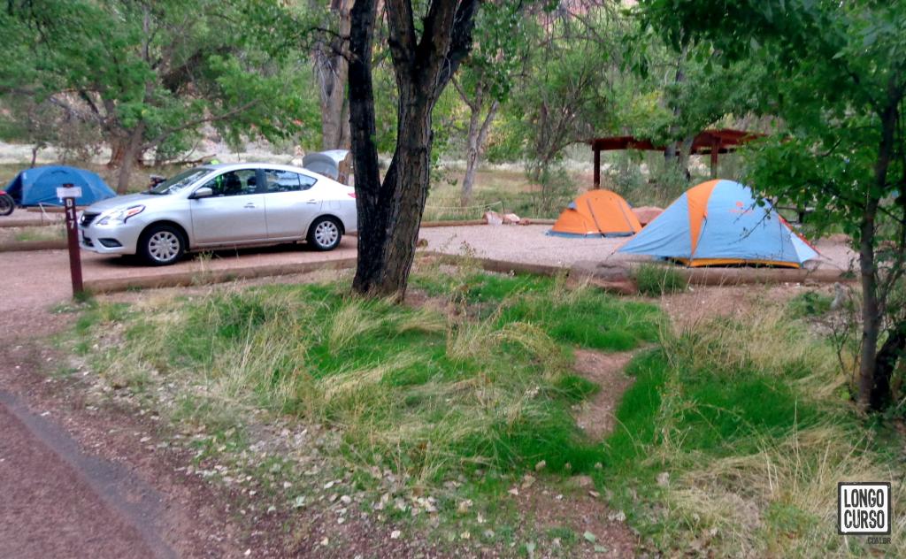
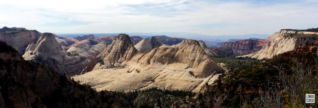
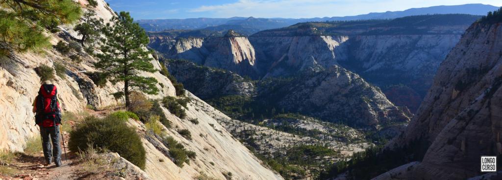
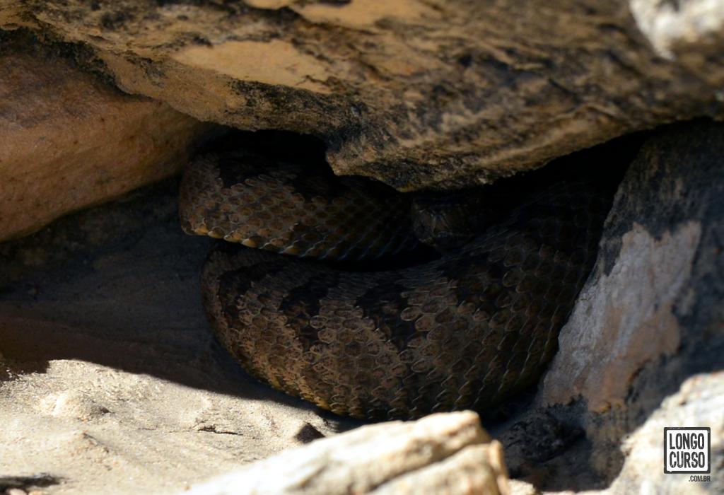
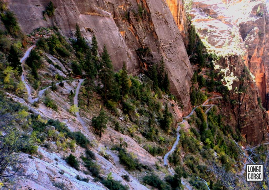
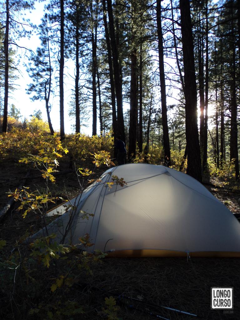
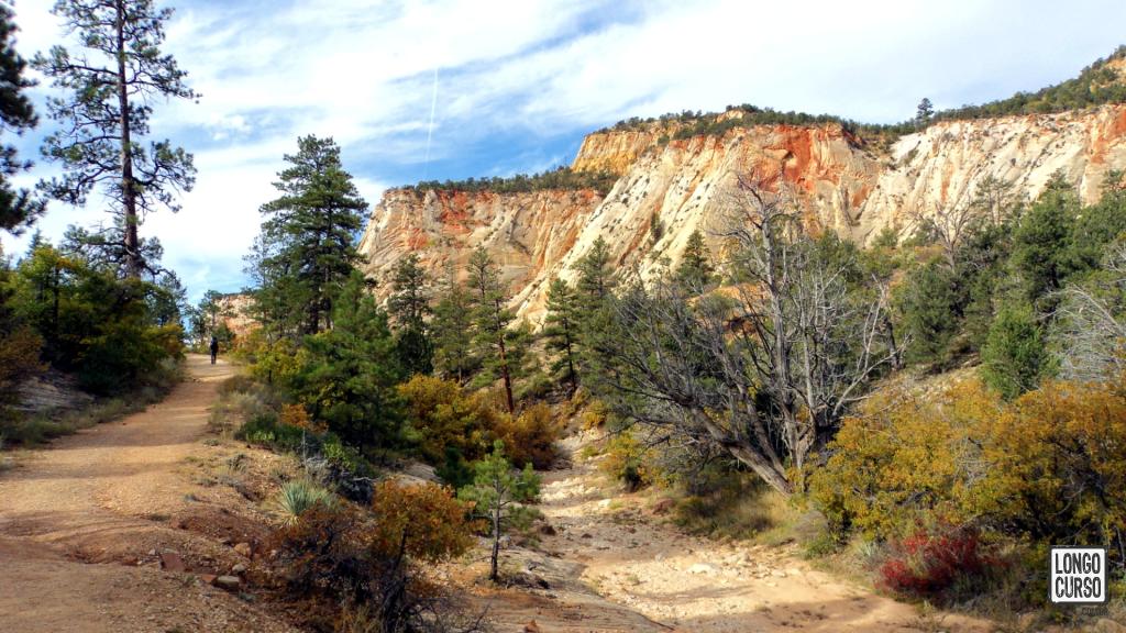
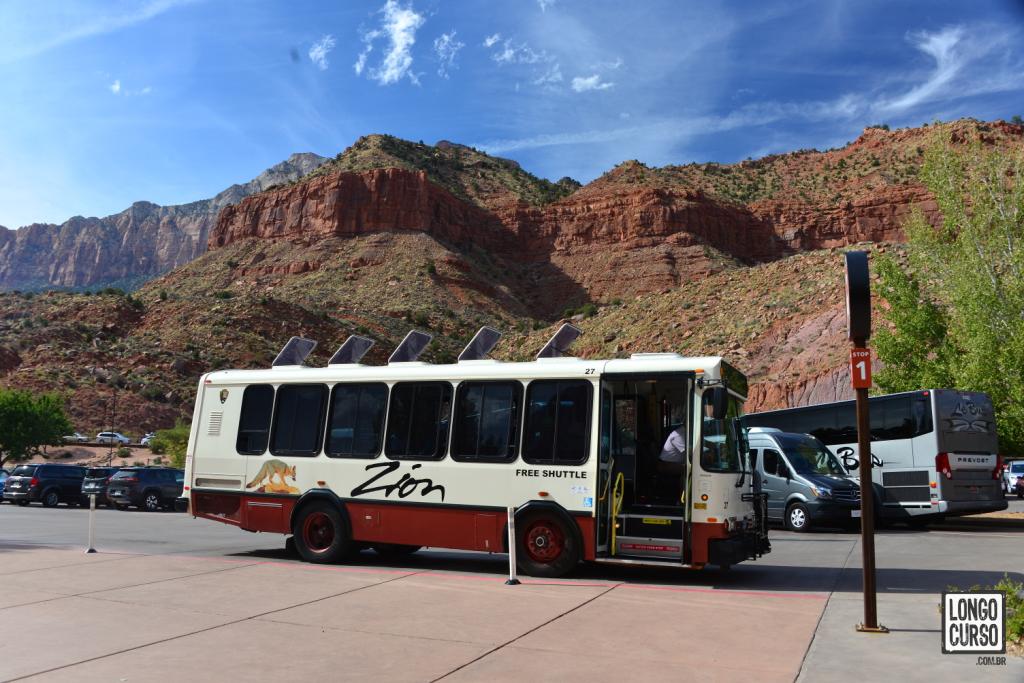
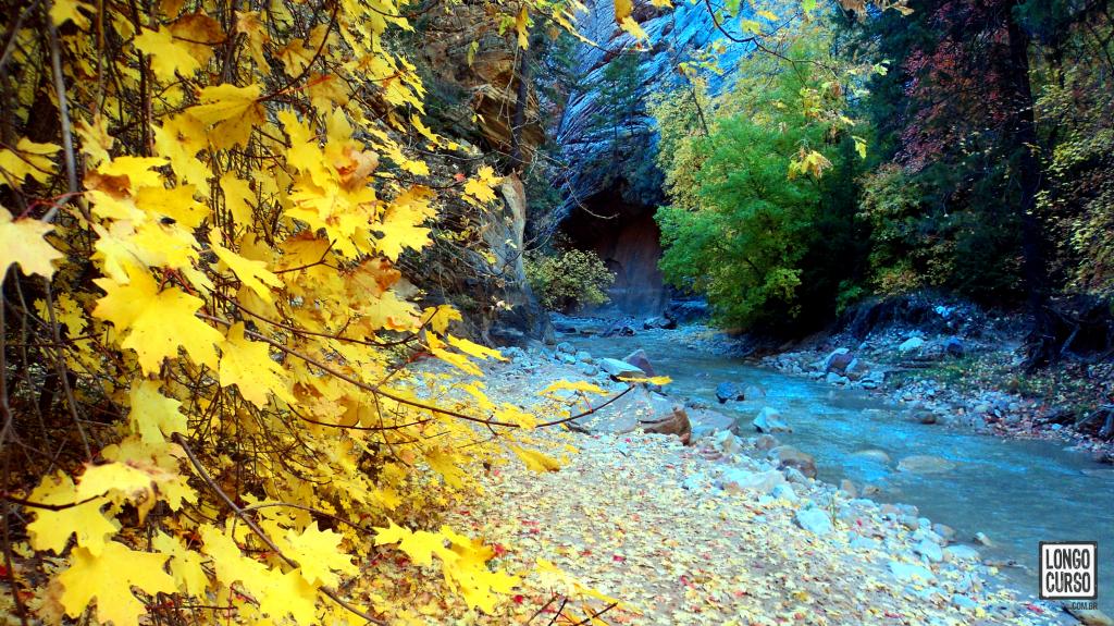
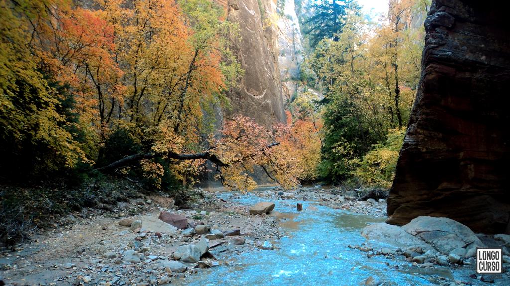
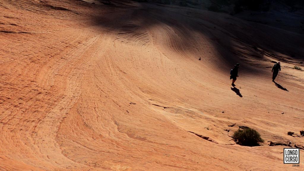
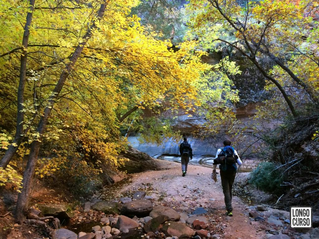
Photo gallery


Leave your comment!
Localização
Visão geral do roteiro
Photo gallery